..........

..........
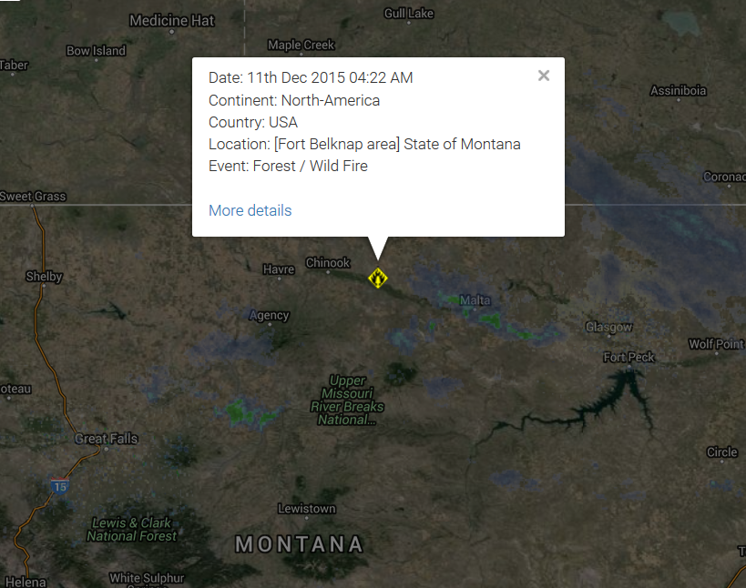
| Forest / Wild Fire | USA | [Fort Belknap area] State of Montana |
Base data
| EDIS Number | WF-20151211-51205-USA |
|---|---|
| Event type | Forest / Wild Fire |
| Date/Time | December 11 2015 04:22 AM (UTC) |
| Last update | December 11 2015 04:25 AM (UTC) |
| Cause of event | |
| Damage level | Medium |
Geographic information
| Continent | North-America |
|---|---|
| Country | United States of America |
| County / State | State of Montana |
| Area | Fort Belknap area |
| Settlement | |
| Coordinate | 48° 28.950,108° 45.926 |
A
large grass fire is burning several miles east of Fort Belknap. There
are no reports of injuries at this time; the cause of the fire is not
yet known. Randy Perez tells us that the fire is heading toward Pony
Hill Cemetery, and is south of Savoy Road. Perez, who lives very close
to where the fire is burning, says that it is burning in mostly
grass-land, with some alfalfa. He tells us that the wind pushed the fire
toward Savoy Road, and the fire then changed direction. Hundreds of
tons of hay have burned; at this point, no livestock are believed to
have perished. The fire is believed to be about nine miles long, and
more than a mile wide. Perez says that ranches have moved two herd of
cattle and 100 bulls from the area to escape the approaching flames. At
least ten fire trucks are at the scene, with crews responding from the
MT Department of Natural Resources and Conservation, Harlem, Turner,
Chinook, Dodson, Malta, and Fort Belknap. Authorities estimate that the
fire has burned about 5,000 acres.
Fires Continue to Burn on Kootenai National Forest
Fires in Lincoln County continue to burn and send smoke to the Flathead Valley
While some of the fires are continuing to grow slowly, the majority of the burning is in the interior with pockets of fuel burning within the perimeter of the fires, fire managers say. These fires will continue to burn and put up smoke until the area receives significant rain and or snow.
Read More Here
...........

No comments:
Post a Comment
Hello and thank you for visiting my blog. Please share your thoughts and leave a comment :)