
Indonesia: Mount Bromo erupts, spews ash high into the sky
..........


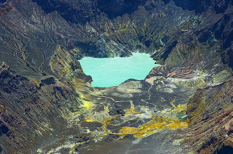
Tengger Caldera. Mt Bromo crater is smoking at left, Batok cone in centre.
Semeru volcano is in the distance (right).
ASIA ONE
Volcano alert raised in Indonesia, tourist sites closed
The
status of Mount Bromo, which is located on the border of Probolinggo,
Pasuruan, Lumajang and Malang regencies in East Java, has been raised
from Alert 2 to Alert 3, resulting in the closure of tourist sites since
Friday at 2 p.m.
According to Mt. Bromo Volcanic Monitoring Post (PPGA) head M. Syafii, Mt. Bromo's volcanic activity had increased in recent days. Meanwhile, earth tremors had increased since Thursday night.
"The Volcanology and Geological Disaster Mitigation Center [PVMBG] then raised the status today," Syafii said as quoted by Antara news agency on Friday.
Visually,
Syafii said, Mt. Bromo was producing white ash clouds with moderate
thickness and low pressure, rising from the west to the southwest at a
height of 50 to 150 meters.
According to Mt. Bromo Volcanic Monitoring Post (PPGA) head M. Syafii, Mt. Bromo's volcanic activity had increased in recent days. Meanwhile, earth tremors had increased since Thursday night.
"The Volcanology and Geological Disaster Mitigation Center [PVMBG] then raised the status today," Syafii said as quoted by Antara news agency on Friday.
Bromo Volcano | John Seach
Tengger Caldera, East Java, Indonesia
7.94 S, 112.95 E,
summit elevation 2329 m
stratovolcanoes
summit elevation 2329 m
stratovolcanoes
Tengger Caldera. Mt Bromo crater is smoking at left, Batok cone in centre.
Semeru volcano is in the distance (right).
Mt Bromo volcano
is a scenic tourist destination in East Java. The volcano is noted for
its spectacular sunrises, and majestic views across to Semeru volcano to
the south.
Bromo is the only active crater in the
Tengger caldera which contains seven eruptive centres. In 1838 the
crater was filled with a lake.
.............................................................................................


")
")


")


