Showing posts with label Winter storm. Show all posts

Thursday, February 27, 2014

NASA Image Shows Polar Vortex Slamming Into U.S.

NASAno Rains Ash, Rock on Java: Photos
NASA 
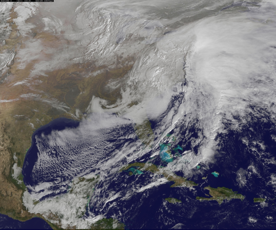
today released this image of the polar vortex, the weird atmospheric twitch that flooded into the United States last month. The purple wavy line above that wanders down from the Arctic shows the below-average temperatures that set cold records in many states.
From NASA's Facebook page:
"The Big Chill - Blistering cold air from the Arctic plunged southward this winter, breaking U.S. temperature records. A persistent pattern of winds spins high above the Arctic in winter. The winds, known as the polar vortex, typically blow in a fairly tight circular formation. But in late December 2013 and early January 2014, the winds loosened and frigid Arctic air spilled farther south than usual, deep into the continental United States. On Jan. 6, 2014, alone, approximately 50 daily record low temperatures were set, from Colorado to Alabama to New York, according to the National Weather Service. In some places temperatures were 40 degrees Fahrenheit colder than average."

Read More Here

.....
MLive

Wind chill advisory: Check out how cold it will feel in Grand Rapids


By Andrew Krietz | akrietz@mlive.com
 
on February 27, 2014 at 3:53 PM, updated February 27, 2014 at 4:23 PM
GRAND RAPIDS, MI — Don't let the Thursday afternoon sun fool you.
A wind chill advisory is in effect until 11 a.m. Friday following the National Weather Service canceling a winter weather advisory. With snow showers mostly out of the picture, there's now a greater focus on how cold it'll feel when the sun comes up.
"Feels like" temperatures will be at their lowest after 4 a.m. Friday, with some readings approaching minus 25 degrees, according to the National Weather Service in Grand Rapids.
Forecasters say there likely will be a bit of a lull in wind speeds late tonight through the early morning hours, but an approaching weather system is positioned to kick them back up again to about 5 to 15 mph. It won't take much for the wind, coupled with an overnight low of minus 7 degrees, to knock down those readings quickly.

Read More Here

.....
Enhanced by Zemanta

Freeze will cover two-thirds of country, weather service says


Arctic air makes a comeback, sort of

Freeze will cover two-thirds of country, weather service says

UPDATED 8:35 AM PST Feb 25, 2014


Cold New Yorkers, cold weather
Chad Weisser/iReport

(CNN) —Don't pack away those winter coats and hats yet!
We're in for another blast of cold Arctic air, which is gearing up to roll across most of the country this week, but it won't be as bad as the shocking freeze in January.
The National Weather Service says some places from the central U.S. to the Ohio and Mississippi Valleys could be having some frosty high temperatures, as low 20 to 30 degrees below normal.
If you call it Polar Vortex Part II (or III or IV), meteorologists say you'd be wrong -- nor was the first big cold spell of 2014, strictly speaking, a strike of the Polar Vortex.
The Polar Vortex stays anchored over Baffin Bay, to the north of Canada, and doesn't move, says CNN meteorologist Sean Morris. But its shifting pattern allows cold Arctic air to spill southward into the United States.
"When it weakens, this allows the cold Arctic air that is often mislabeled the "Polar Vortex" to spill southward across the U.S. border and bring us bone-chilling temperatures," Morris explained.
So from a technical perspective, "if you're looking to get 'struck' by the vortex, you're out of luck," he added.
Although this cold snap doesn't have as menacing a name, the Arctic air blast will cause temperatures to plummet 25 to 35 degrees below average east of the Rocky Mountains, Morris said.
Temperatures will drop Tuesday to 10 to 30 degrees below normal for this time of year in places such as Minnesota and the Dakotas. Then the arctic blast will roll east.
Read More Here
.....

Brutal Winter Continues as Temps Plummet Again

File Photo
Photo: AP/Nati Harnik
Updated: 02/27/2014 4:50 PM
Created: 02/27/2014 6:10 AM KSTP.com
By: Jennie Olson

Now that the high winds of Wednesday are settling down, our temperatures have taken yet another dive.
After a brief warm up, the never-ending winter of 2013-14 has re-established its run at record territory, Morning Chief Meteorologist Ken Barlow says.

Read More Here

File: The climate-controlled skyway system in Minneapolis provides warmth for people moving from building to building as another polar blast brought sub-zero temperatures with wind chills in the minus-40's, Monday, Jan. 27.
Photo: AP/Jim Mone, File

.....
Enhanced by Zemanta

Saturday, February 22, 2014

waves of snow and cold air move through the Northwest and Northern Rockies region making for a snowy weekend

AOL.com

Weekend Snow to Blanket Northwest

More wintry weather in store for region
Saturday, Feb. 22, 2014

This file photo shows a snowy Casper, Wyoming, field. The state is among those being hit by wintry storms this weekend. (Wyoming_Jackrabbit/Flickr)

It's shaping up to be a snowy weekend for parts of the Northwest and northern Rockies as waves of snow and cold air move through the region.

Although the highest accumulations will be found in the mountains, snow in the lower elevations can still accumulate enough to cause travel delays in cities such as Spokane, Wash., Billings, Mont., Casper, Wyo. and Vancouver, British Columbia.

The first wave of snow will move in on Saturday, spreading light snow from Washington through Wyoming. A steadier snow looks to move in with the second wave of snow from Sunday afternoon into Sunday night.

Accumulating snowfall will likely stay out of the city of Seattle with much of the precipitation falling as rain. However, some snowflakes may mix in for a time on Saturday night and into early on Sunday morning.

Read More Here
Enhanced by Zemanta

Monday, February 17, 2014

No Rest for the Frigid: New Storm Brings More Snow to Northeast

deep freeze
Image: A woman walks through the snow in the Williamsburg neighborhood in the Brooklyn borough of New York
ERIC THAYER / Reuters


Winter administered a fresh whipping to parts of the Northeast overnight, as a new storm brought more snow and high winds to the region.
The latest blast came as residents were still digging out from a major storm that caused at least 25 deaths, and at its height, left hundreds of thousands without power on the East Coast and in the South.

New England was absorbing the worst of the weekend storm, which was moving in Saturday evening. Up to 12 inches of snow fell in eastern Massachusetts, and parts of Maine and Rhode Island overnight, Weather Channel meteorologist Mark Swaim said.
New York City and Boston, which both saw flurries overnight, were waking up to lower than average temperatures: Upper 20s in Beantown and lower 30s in the Big Apple.
Massachusetts Gov. Deval Patrick on Saturday warned drivers to stay off the roads for a 12-hour period beginning at 5 p.m., saying, "It won't be possible to keep up with the clearing of the roads."
The newest storm spawned blizzard conditions in several places along the Massachusetts coastline, including Cape Ann, Hingham, Cape Cod and surrounding islands.

Another Winter Storm Batters East Coast

Nightly News

Boston Mayor Martin Walsh announced that the city would deploy more than 600 snow plows, trucks and other equipment by Saturday evening to deal with the storm. He said additional police officers, firefighters and paramedics would be on hand throughout the storm to ensure public safety.

Southeastern New Hampshire is under a winter storm warning through Sunday that could bring 6 to 10 inches of snow. The weather service said 1 to 2 inches of snow were possible on Saturday with as much as 8 inches overnight.
Further south, New York City New York City's Central Park received 1 1/2 inches of new snow after getting nearly a foot of snow Thursday.


.....

Boston Weather Forecast: Snow From Winter Storm Hits New England


Good Samaritans help push a stranded motorist stuck in deep snow on Stefko Boulevard Thursday, Feb. 13, 2014 in Bethlehem, Pa.  A wide swath of Pennsylvania awoke Thursday to a fresh coating of snow and a forecast for much more to come over the course of the day. (AP Photo/Chris Post)
Good Samaritans help push a stranded motorist stuck in deep snow on Stefko Boulevard Thursday, Feb. 13, 2014 in Bethlehem, Pa. A wide swath of Pennsylvania awoke Thursday to a fresh coating of snow and a forecast for much more to come over the course of the day. (AP Photo/Chris Post)
BOSTON (AP) — Another winter storm began hitting southern New England on Saturday afternoon and meteorologists said the region will experience heavy snow, strong winds and blizzard conditions near the Massachusetts coast before the storm clears out on Sunday.
The National Weather Service said Massachusetts and parts of Rhode Island will bear the brunt of the storm, with 10 to 14 inches of snow.
“Connecticut will see heaviest snowfall amounts near the Rhode Island border, with lesser amounts as you head further west,” meteorologist William Babcock said. “So there might be 8 to 10 inches right along the Rhode Island border, maybe 4 to 6 around Willimantic and 2 to 4 around Hartford.”
At its peak, the storm will dump snow at the rate of up to 3 inches per hour, Babcock said.
Massachusetts Gov. Deval Patrick urged drivers to stay off the roads from 5 p.m. Saturday to 5 a.m. Sunday, and said “it won’t be possible to keep up with the clearing of the roads” during the storm.
The storm is expected to spawn blizzard conditions in several spots along the eastern Massachusetts coastline, including Cape Ann, Hingham, Cape Cod and surrounding islands.
“These areas could be seeing winds reaching up to 70mph, blowing snow and creating extremely poor visibility,” Babcock said. “People should be preparing for deteriorating conditions … People should be ready to stay off the roads and the good thing is a lot of this will be at night, when people are normally off the roads.”
The Rhode Island coast areas north and northwest of Boston will experience winds of up to 45mph that will blow the snow and create chilly conditions.


Read More Here
.....
Enhanced by Zemanta

Sunday, February 16, 2014

Deadly Monster Winter Storm Batters US Eastern Seaboard – More Snow and Ice on the Way!

Universe Today

by Ken Kremer on February 13, 2014
This visible image of the winter storm over the U.S. south and East Coast was taken by NOAA's GOES-13 satellite on Feb. 13 at 1455 UTC/9:45 a.m. EST. Snow covered ground can be seen over the Great Lakes region and Ohio Valley. Image Credit:  NASA/NOAA GOES Project
This visible image of the winter storm over the U.S. south and East Coast was taken by NOAA’s GOES-13 satellite on Feb. 13 at 1455 UTC/9:45 a.m. EST. Snow covered ground can be seen over the Great Lakes region and Ohio Valley. Image Credit: NASA/NOAA GOES Project
A deadly monster storm is battering virtually the entire US Eastern seaboard today, Thursday, Feb. 13, as it moves from the Southeast to the Northeast and into the New England states, wreaking havoc and causing miserable weather conditions for over 100 million Americas.
This afternoon, NASA and NOAA published a new image taken by a GOES satellite that showed the extent of the clouds associated with the massive winter storm over the US East Coast – see above and below.
Blizzard, white out and slippery conditions have already caused more than 18 deaths.
The killer storm has brought relentless waves of snow, sleet and ice over the past two days covering a vast swath stretching from inland to coastal areas as it moved up from the southern to northern states.
More than a foot of snow has already fallen in many areas today stretching from the Mid-Atlantic into the entire Northeast region.
Several states have declared states of emergency.
This is the season’s 12th snow storm. In many Northeast localities, the accumulated snowfall totals are three times the normal average. As a result many municipalities are running out of road salt.
And to add insult to injury, much more icy snow is falling overnight into Friday on top of the massive existing mounds and piles of frozen ice and snow that’s accumulated over the past few weeks of subfreezing temperatures.
There are also predictions for patches of “thunder snow” — which is a snow storm mixed with thunder and lightning!
Read More Here
Enhanced by Zemanta

Wednesday, February 12, 2014

Winter storm wallops the South; 4 killed in Texas

by Associated Press
Posted on February 11, 2014 at 1:38 PM
Updated today at 1:41 PM

ATLANTA (AP) -- In a dire warning Tuesday, forecasters said a potentially "catastrophic" winter storm threatened to bring a thick layer of ice to Georgia and other parts of the South, causing widespread power outages that could leave people in the dark for days.
Many people heeded the advice to stay home and off the roads, leaving much of metro Atlanta desolate during what is typically a busy morning commute. While only rain fell in the city, places 40 miles northwest saw 2 to 3 inches of snow. The rain was expected to turn to sleet and freezing rain and the ice coating was forecast for Wednesday.
When asked to elaborate on the "catastrophic" warning, Brian Hoeth, a meteorologist at the service's southern regional headquarters in Fort Worth, Texas, said forecasters were talking about an ice storm that happens only once every 10 to 20 years for the area. Forecasters predicted crippling snow and ice accumulations as much as three-quarters of an inch in area from Atlanta to central South Carolina. Wind gusts up to 30 mph could exacerbate problems.
Aaron Strickland, emergency operations director for Georgia Power, said the utility is bringing in crews from Florida, Texas, Oklahoma and Michigan. Strickland, who has spent 35 years with Georgia Power, said he's never seen an inch of ice in metro Atlanta.
"I've seen people forecast it, but it's never come," Strickland said. "And I'm hoping it don't this time."
President Barack Obama declared an emergency in Georgia, ordering federal agencies to help with the state and local response.
The quiet streets were a stark contrast to the scene just two weeks earlier when downtown roads were jammed with cars, drivers slept overnight in vehicles or abandoned them on highways. Students camped in school gymnasiums.

Read More Here

Enhanced by Zemanta