
Earth Watch Report - Earthquakes
....
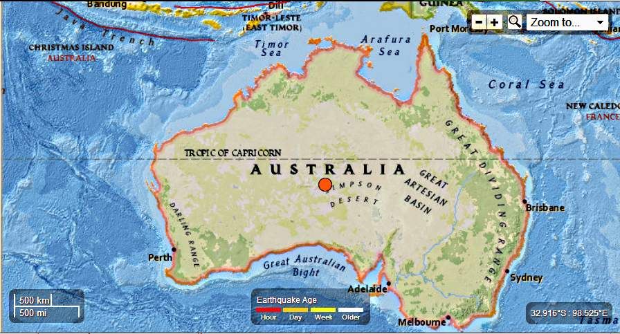
M5.8 - Northern Territory, Australia
2013-06-09 14:22:12 UTC

Event Time
- 2013-06-09 14:22:12 UTC
- 2013-06-09 23:52:12 UTC+09:30 at epicenter
- 2013-06-09 09:22:12 UTC-05:00 system time
Location
25.966°S 131.976°E depth=1.1km (0.7mi)Nearby Cities
- 316km (196mi) SW of Alice Springs, Australia
- 914km (568mi) NW of Port Augusta West, Australia
- 916km (569mi) NW of Port Augusta, Australia
- 953km (592mi) NW of Whyalla, Australia
- 1179km (733mi) NW of Adelaide, Australia
....

....

Earthquakes can occur in almost every part of Australia, although certain regions have a higher likelihood of experiencing an earthquake than others. Possibly the most earthquake prone regions of Australia are the West Australian wheatbelt, and the Flinders Ranges of South Australia. The alpine region of eastern Australia is also relatively active. Three Australian earthquakes are known to have caused fatalities. The 1902 earthquake near Warooka, on the Yorke Peninsula of South Australia (mag 6.0), caused two deaths, attributed to heart attacks. The 1935 Gayndah earthquake in Queensland caused one death. By far the most significant was the 1989 earthquake at Newcastle, NSW (mag 5.6), which caused 13 fatalities, mostly because of the catastrophic structural collapse of the Newcastle Worker's Club.
The body responsible for producing risk maps of Australia is the Australian Earthquake Engineering Society.
West Australian seismicity is treated separately on this site. Seismicity for the rest of Australia is summarised below.
BELOW - Map of earthquakes superimposed on Digital Terrain Model - courtesy Dan Clark, Geoscience Australia
-Below - Earthquake Hazard map of Australia, 1991 (Australian Geological Survey Organisation, Canberra: McCue et al., 1993). A new version of this map was published by Geoscience Australia in 2012.
This map shows that the coastal regions of NW Australia are the most earthquake prone, and the region of east Australia to the west of the dividing range is the least.
....
Earthquake rocks Northern Territory's southern region

Territorians are reporting cracked footpaths and
shaking buildings after a magnitude 5.7 earthquake rocked the southern
region overnight.
The epicentre of the quake was just 40 kilometres from the Aboriginal community of Ernabella. Les Smith from the Kulgera Roadhouse said locals were shaken awake by the tremors.
"We've only got a couple of cracks actually in our cement paths going over towards the rooms," Mr Smith said.
"One of the local blokes who came (out) of his room, he said he saw a couple of the staff quarters shaking, so we'd better bolt them down."
The shaking has caught the interest of seismologists, because the area had a similar quake a year ago, but, before that, it had gone decades without one being recorded.
Seismologist Spiro Spiliopoulos from Geoscience Australia said the quake hit just before midnight, about 315 kilometres southwest of Alice Springs.
He said Ernabella suffered an earthquake of a similar size in March last year.
Read Full Article Here
....
Related articles
- Very Strong earthquake in a nearly unpopulated region of Australia (earthquake-report.com)
No comments:
Post a Comment
Hello and thank you for visiting my blog. Please share your thoughts and leave a comment :)